Musa Ka Musala Trek
15th May 2022
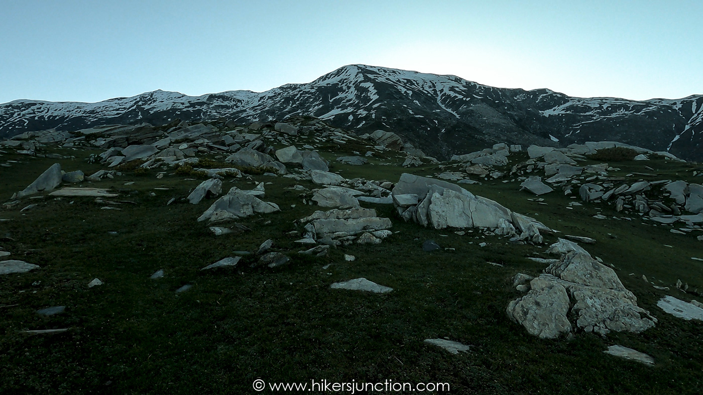
Musa ka Musala (which translates to Moses' Mat, and abbreviated as MKM) is a 4,090m high peak in Siran Valley, Mansehra. It has relatively easy access and can be summitted all year around. Although I am not a big fan of summitting mountains, I attempted Musa ka Musala because at the time it was the only accessible destination.
Jump to:
- Hike Overview
- Musa ka Musala Trek Map
- Trip Overview
- How to Reach
- Hike to Base Camp
- Camping
- Hike to Summit
- Final Thoughts
- Trail Video
- Equipment
Hike Overview
- Hike Difficulty: Moderate-Difficult
- Trail Length: 16km (10mi)
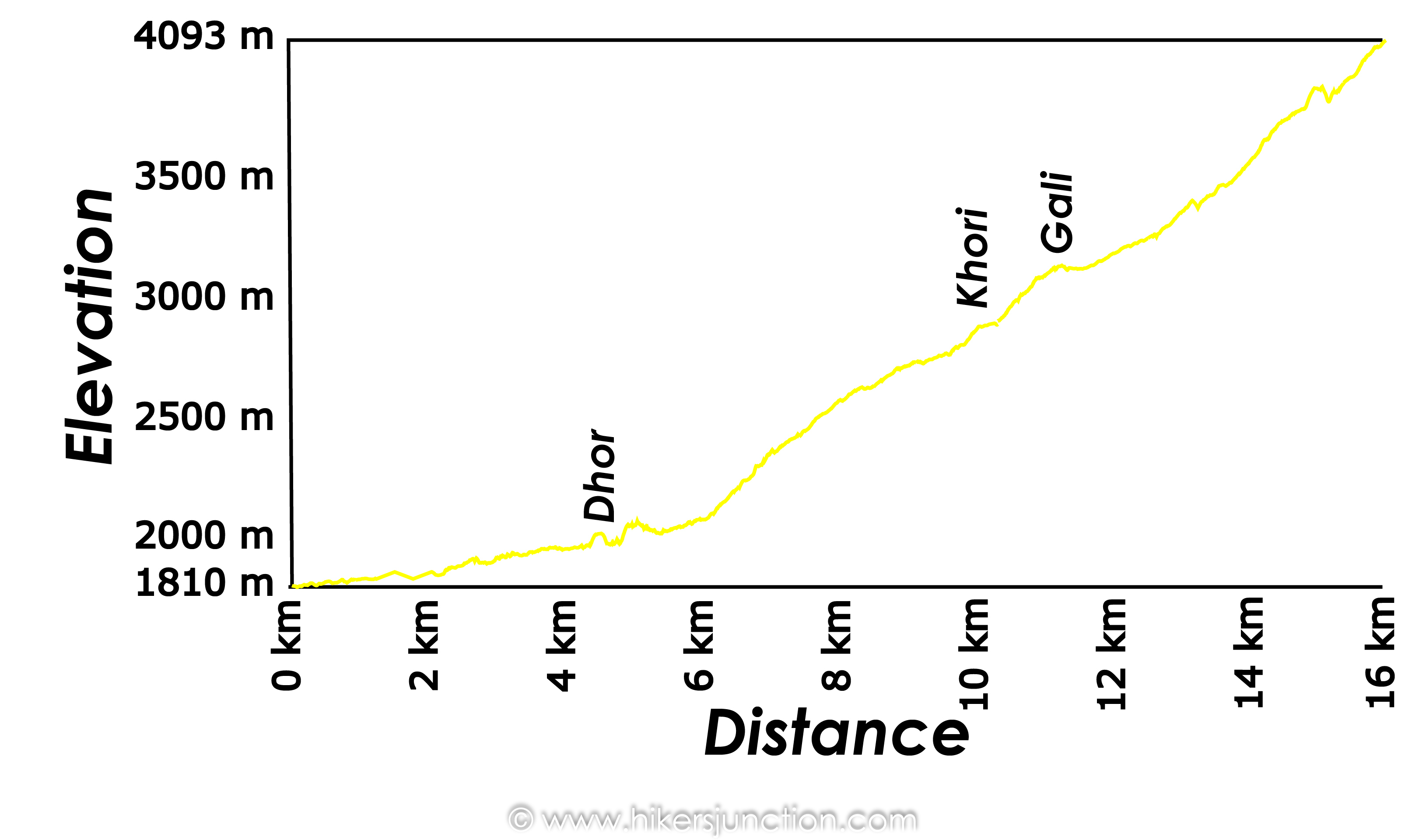
- Elevation Gain: 2,160m
- Typical Hike Duration (One-way): 10 - 11 Hours across 2 days
- Trail Head: Jachcha / Manda Gucha
- Musa ka Musala Height: 4,090 m (13,420 ft)
- Hike Season: All year
- Campsite: Khori, Gali
Note: Preserving nature is the responsibility of every tourist / hiker. Please DO NOT LITTER, DO NOT DRAW GRAFFITI, DO NOT CUT TREES.
Musa ka Musala Trek Map
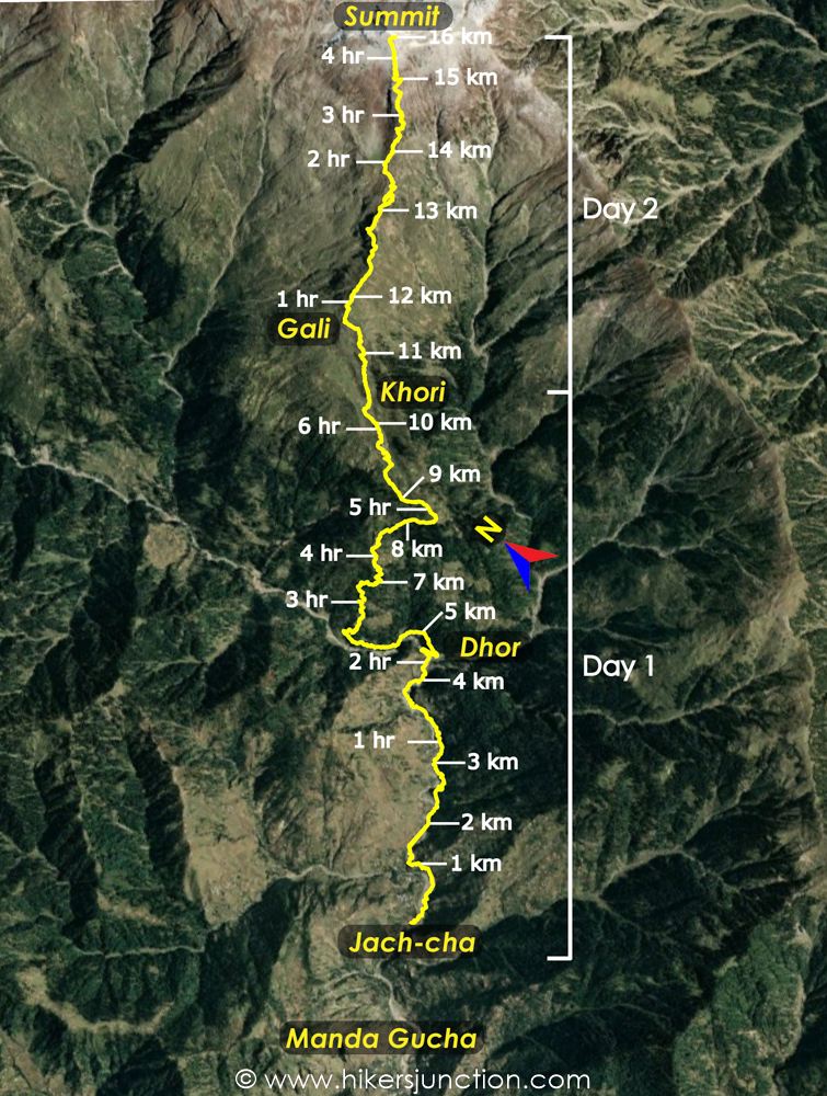
Trip Overview & Itinerary
| Day | Time | Journey | Duration |
|---|---|---|---|
| Day 1 | 11:30pm to 04:00am |  Islamabad to Manda Gucha |
4.5 hours |
| 06:30am to 07:00am |  Manda Gucha to Jachcha |
30 mins | |
| 07:00am to 1:00pm |  Jachcha to Khori |
6 hours | |
| Day 2 | 07:00am to 11:30am |  Khori to Summit |
4.5 hours |
| 12:30pm to 03:30pm |  Summit to Khori |
3 hours | |
| Day 3 | 07:30am to 11:30am |  Khori to Jachcha |
4 hours |
| 12:30pm to 01:00pm |  Jachcha to Manda Gucha |
30 mins | |
| 02:00pm to 06:00pm |  Manda Gucha to Islamabad |
4 hours |
Reaching Manda Gucha
Musa ka Musala's distance from Islamabad is about 207km. It is accessed through the town of Manda Gucha which itself can be accessed fairly easily through the Hazara Motorway.
We set off from Islamabad on Thursday night around midnight. The journey was fairly straightforward, travelling on the Hazara Motorway and turning in from Shinkiari towards Siran Valley. We reached Manda Gucha at around Fajr time. We offered prayers, had some breakfast and got ready for the jeep journey.
Jeep to Trailhead
We got into open-top jeeps that would take us to the starting point of the trek. The jeep ride was fairly brief, about 30mins or so, and also fairly safe.
At the end of the jeep ride we reached a footbridge across which was the village of Jachcha which would be the starting point of the trek.
Hike to Khori
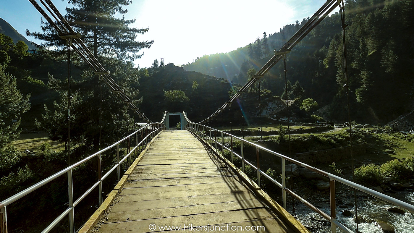
From Jachcha we started the hike by the river. The area was fairly populated with a number of houses along our way. We crossed the river a number of times and at one point the trail almost took us inches away from the river.
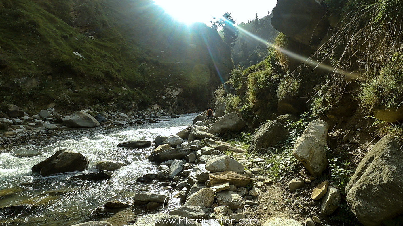
At around the 2 hour mark we reached the first pit stop called Dhor which was a junction of two rivers.
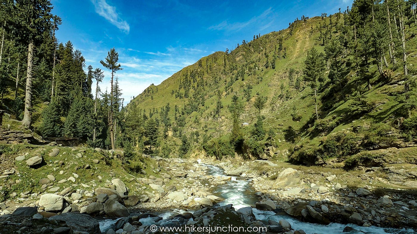
After resting in Dhor for a while we continued our trek. From Dhor we started climbing upwards from the river. The trail started to get steeper and we started gaining elevation.
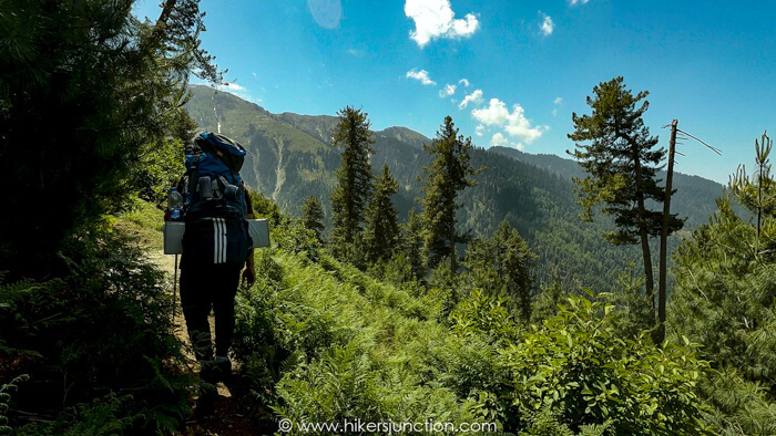
As we gainer further elevation and approached Khori, the vegetation started to reduce and meadows started to appear. We finally reached Khori 4 hours after leaving Dhor. Even though it was only afternoon at this point which was fairly early to call it a day, the taxing elevation gain of over a 1,000m preceded by the overnight journey had taken a toll on us.
Camping
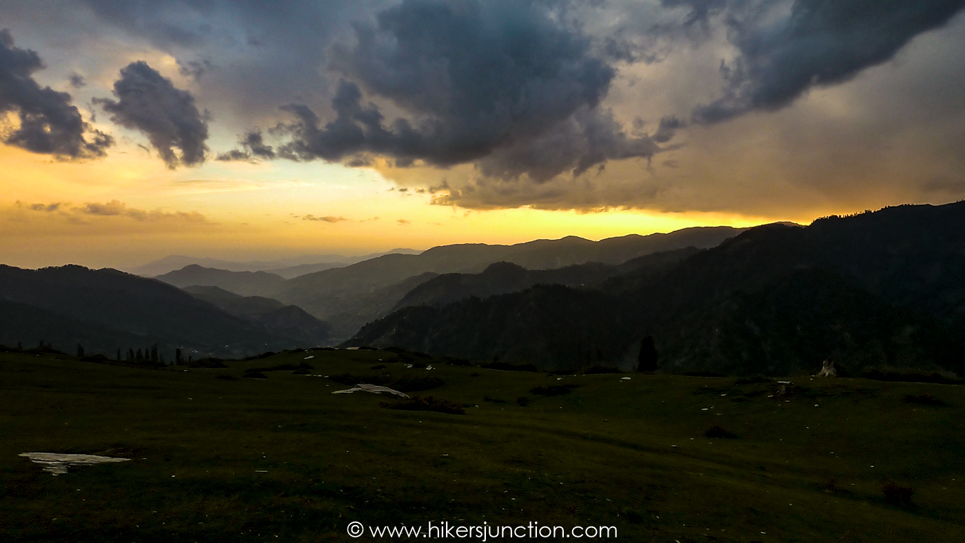
There are two camp site options on the Musa ka Musala trek. The first one is Khori and the next one is called Gali. Both campsites have a fresh water spring each and a flat area to setup camps. Gali is at a higher elevation which is at an hours trek from Khori. We opted to camp at Khori because we were simply too tired to hike further up the mountain that day.
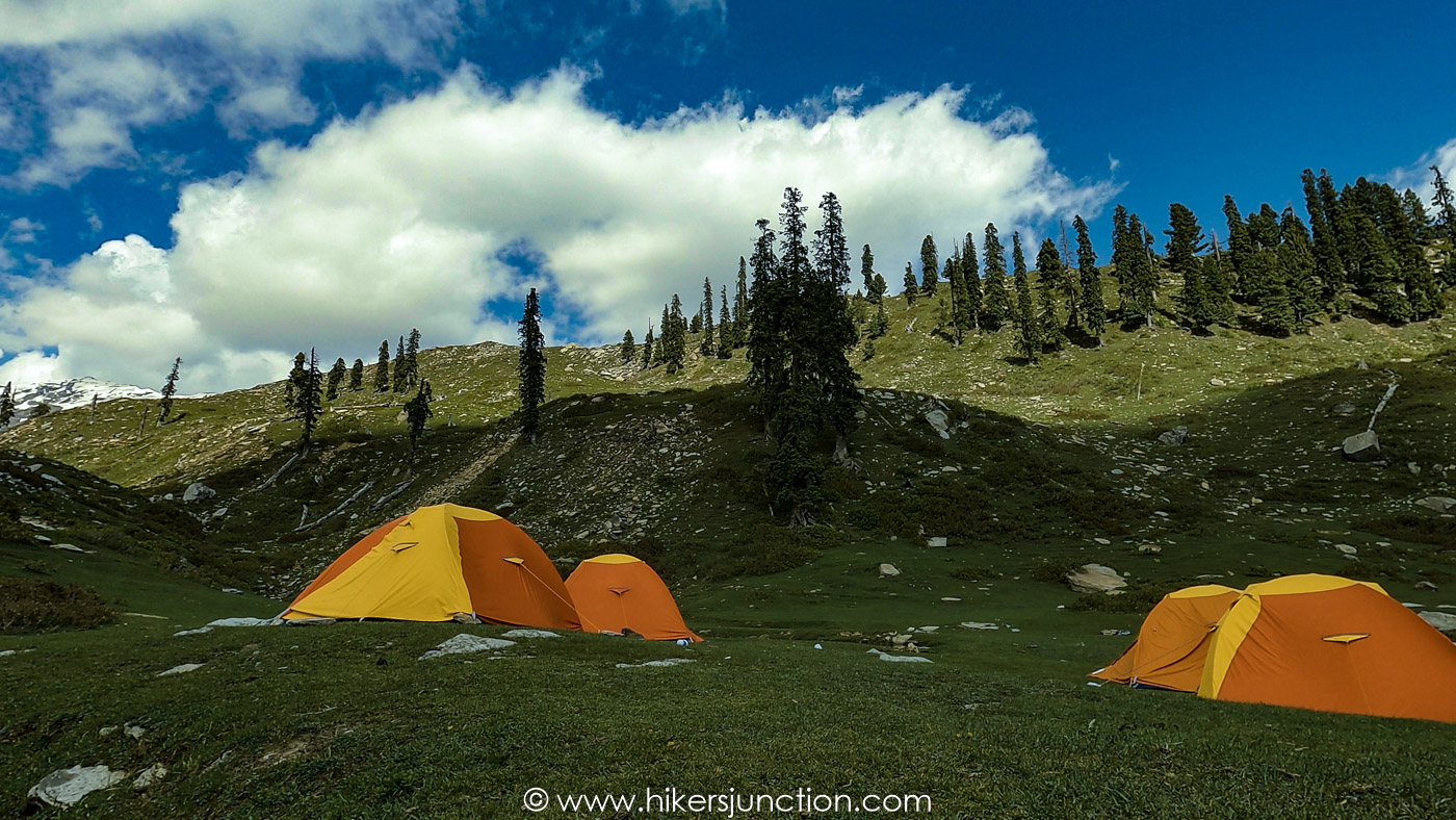
Available Facilities at Campsite
| Facilities | Availability |
|---|---|
| Tents |  |
| Water |  |
| Food |  |
| Toilet |  |
| Phone Signals |  |
At Khori there is a hut which is part masjid and part kitchen. The folk at Khori cooked us a very delicious dinner of chicken karahi. After dinner we got inside our camps because Musa ka Musala's temperature dropped at night and it got fairly cold.
Hike to Musa ka Musala Summit
The next morning we left our rucksacks in the camps, stocked our smaller day bags with snacks. We filled up our water bottles from the fresh water spring, and set off to summit Musa ka Musala.
The initial climb got us up to Gali where there was another fresh water spring. From Gali we could see the peak in front us. The route to the peak from Gali was a climb with a steep and constant incline.

The summit push took us 4 hours in which we covered only 4km but gained an elevation of 1,172m. To put in perspective, the previous day we covered 10km for almost the same elevation gain. From this you can realise that this section of the trek was extremely steep.
Along the way we came across one of the graves on the mountain.
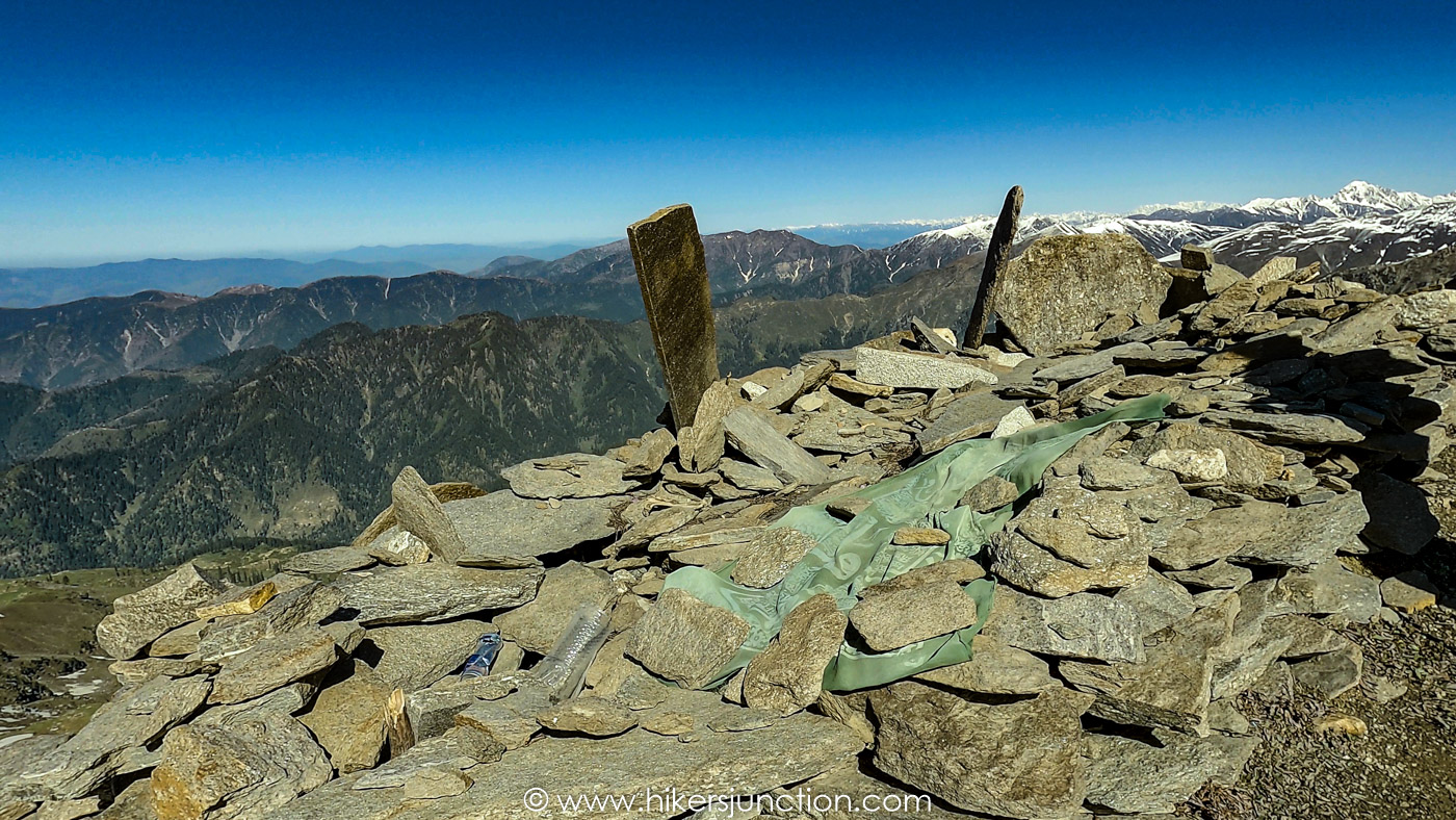
After a gruelling hike we neared the summit which was still covered in snow even in May. At the top there was another grave, probably of Musa himself.
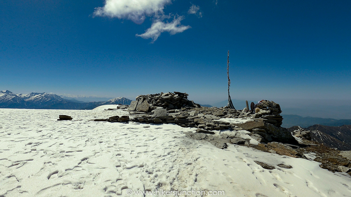
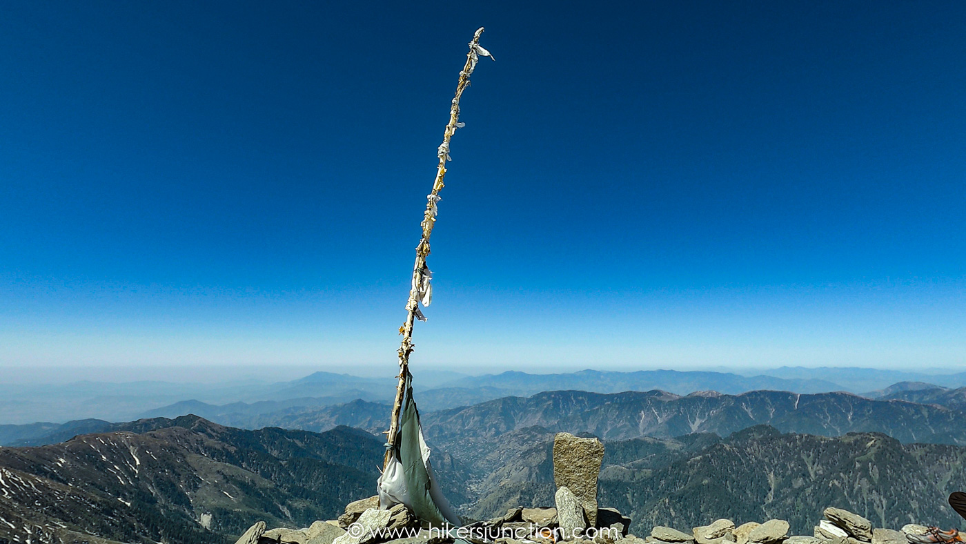
We stayed at the summit for a while before starting our descent back down to Khori where we stayed another night and then returned back to civilisation the following day.
Final Thoughts
Musa ka Musalla trek had us gaining an elevation of over 2,000m across 2 days which was the most I had ever done. Since there isn't much at the top, it is hard to stay motivated for such a demanding trek. On the flip side, the good thing about this trek is the landscape which includes forests and rivers. Musa ka Musala's weather stayed very favourable during the trip. The trek upto Khori is very decent and Khori itself is a beautiful destination. Climbing Musa ka Musala from Islamabad is your best bet if you want to summit your first 4,000m peak.
Trail Video
Other Hikes
Check out similar blog posts on many other hikes here.
Equipment
Having the right equipment and gear is essential for an enjoyable hiking experience. Check out the list of recommended hiking gear.


